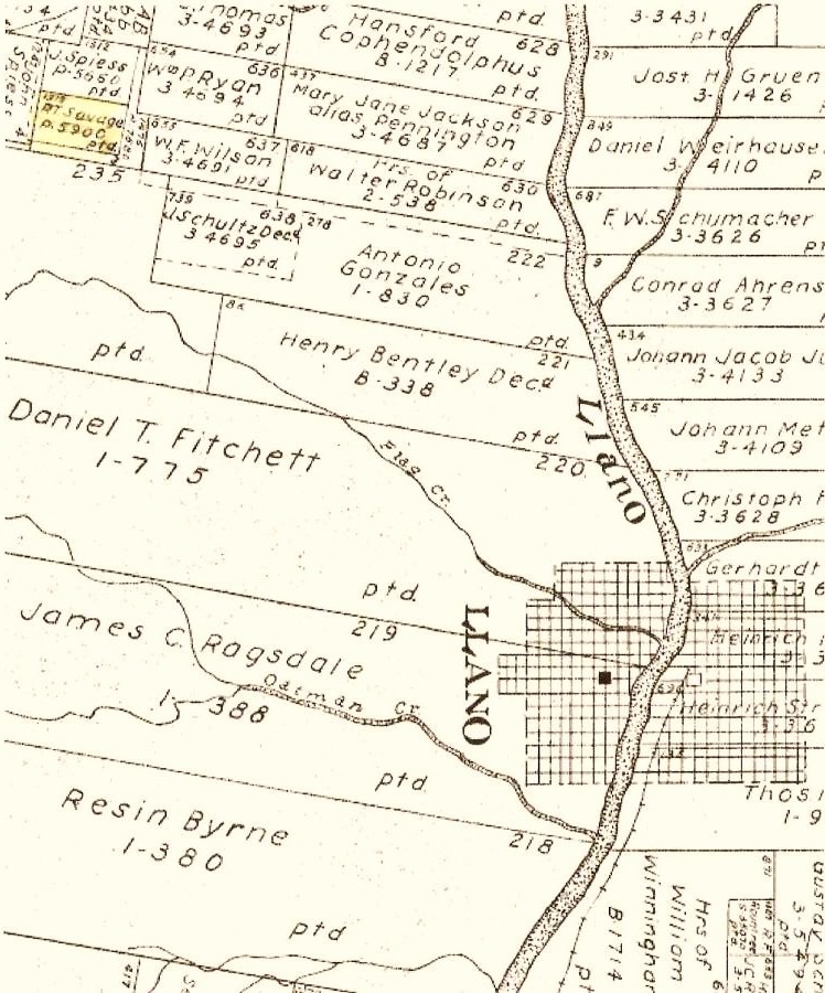
Below is a section of an early Homestead Property Map for homesteaders in Llano Co. - note - it is only a section of a much larger map approx. 4 ft. square. The dates of the homesteads may vary. Researchers can check GLO records to determine when their ancestors settled here. Some names on this particular section are from the early 1870's to the 1880's. Others on full version of map may be much earlier.There is a very nice print displayed in the Llano County Library and also a print of somewhat lesser quality displayed in the County Appraisers Office. The County Appraisers Office can make copies of various sections of the map up to 8.5" X 11" in size. Please also note THIS FEATURE IS NOT AVAILABLE ON THE INTERNET. The actual map scale is 1" equals 2000 varas. Check with the Appraisal Office to inquire about any possible copying fees that might be incurred with this transaction. (info and map submitted by Jerry Crabtree)


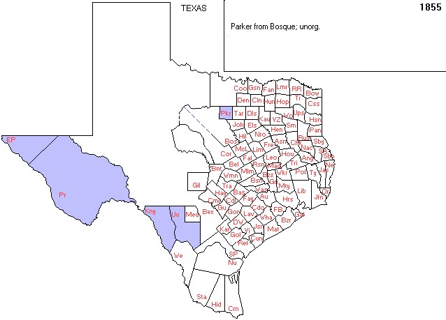
This is Texas, the year before, the formation of Llano County. The places colored Purple are unorganized counties. Notice how large Bexar (abbrev - Bex) is, and without borders, here.

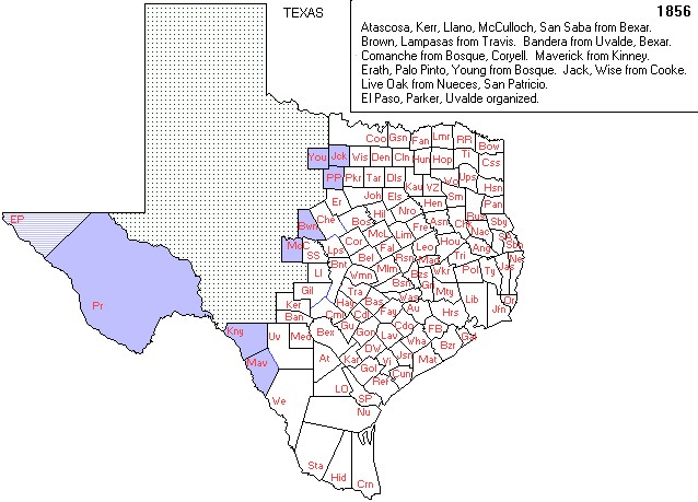
Here you see Llano is created but Mason is yet to be organized. So, the western border of Llano is open country.

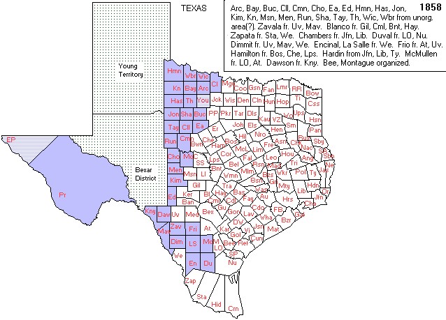
Here, in 1858 Mason is created but Menard, McCullough, Kimble and others are still unorganized. but, the Territories of Young and Bexar District are created from the vacant lands.

These maps were supplied by Gold Bug Historic Maps & Software.
Visit their website at http://www.goldbug.com
for historic map reproductions,
downloadable maps, product info & demos, links to US and Canadian
Geographic Servers and other interesting sites.