Maps
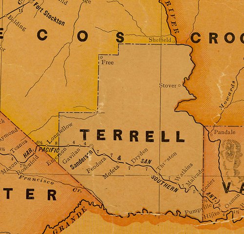
I chose to highlight this railroad map because it shows the railroad and the stops along its route in the 1940s. Terrell County is a rocky desert and the folks were only able to live this far from the Rio Grande because of the railroad. At present, only Sanderson is a viable community - Dryden has less than 20 residents and the others are long gone.

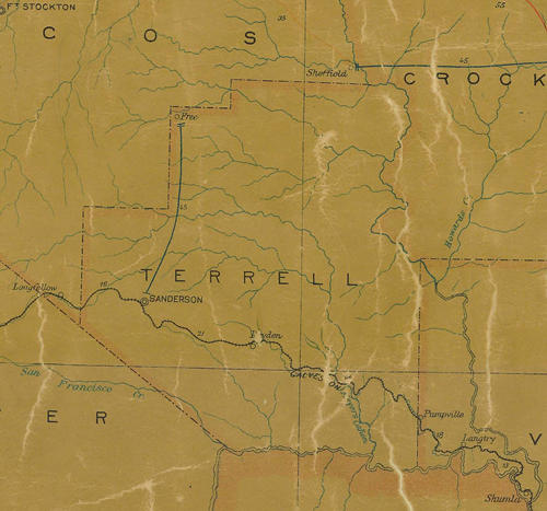
1907 postal map

1920s railroad map


